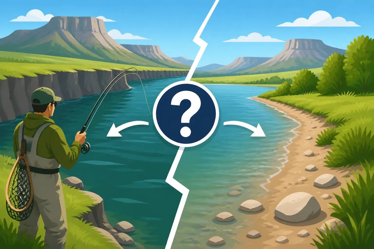
Is There Bank Access on the Green River in Wyoming?
Finding reliable public bank access to some of Wyoming's best fishing rivers can feel like trying to solve a puzzle, especially when you're looking to cast a line on the legendary Green River. Many anglers get frustrated driving down dusty roads, only to be met with "No Trespassing" signs or finding the prime spots are on private land. This comprehensive guide is here to untangle the complexities of Green River bank access, pointing you toward the public stretches where you can wet a line without worry.
Understanding Green River Access in Wyoming
The Green River is a magnificent waterway, flowing for hundreds of miles through Wyoming before continuing into Utah and Colorado. Its character changes quite a bit along its journey through the Cowboy State, and so does the ease of finding public access from the bank. It's not always as straightforward as just pulling over and stepping out, which can be a real headache for those of us who prefer to fish on foot.
The Landscape of the Upper Green River
Upstream from the Fontenelle Reservoir, the Green River flows through vast stretches of both private ranchland and public lands, including national forest and Bureau of Land Management (BLM) property. This upper section, particularly above the town of Pinedale, is often characterized by braided channels and a more intimate, freestone river feel. While beautiful, bank access here can be a bit more challenging to pinpoint. Many sections run through private pastures, and respecting landowners' rights is paramount. You might find some access points where the river crosses public roads or through specific easements, but it often requires a good map and a keen eye to differentiate public from private. It’s a rewarding area for those willing to explore, but not always ideal for a quick, easy roadside stop.
The Lower Green River Below Fontenelle Dam
Below Fontenelle Dam, the Green River transforms into a renowned tailwater fishery, offering consistently cold water and abundant trout populations. This section, often referred to as the "Fontenelle Tailwater," is where many anglers focus their efforts, and thankfully, it also boasts some of the most accessible bank fishing opportunities. The dam's construction and subsequent management by the Bureau of Reclamation mean that significant stretches directly below the dam, and downstream through designated public lands, are specifically managed for recreation. Here, you'll often find well-marked access roads, parking areas, and even designated trails that lead to excellent fishing spots. The water flows are regulated, making for more predictable conditions, though it's always wise to check current release schedules. This is often where people start when they think about fishing the Green River.
Private vs. Public Lands Along the River
Wyoming has a complex checkerboard land ownership pattern, a legacy of railroad grants, which can make it incredibly confusing to determine what's public and what's private. The Green River, like many other Wyoming waterways, winds through a mix of these lands. On private land, you absolutely need permission from the landowner to access the river. Without it, you're trespassing, which can lead to fines and a bad reputation for anglers in general.
Public lands, primarily managed by the BLM and the U.S. Forest Service, offer fantastic opportunities for bank fishing. However, even on public land, access can be tricky if the public land is "landlocked" by private property without a public right-of-way. This is where detailed maps, like those offered by the Wyoming Game and Fish Department, or digital mapping tools such as onX Hunt or even Google Earth, become indispensable. These tools are crucial for distinguishing public sections and identifying legal access points. Some anglers even use services like FishingBooker to scout guide services who know the specific ins and outs of public access, as guides are often experts at navigating these land ownership complexities. Understanding the Wyoming Fishing Regulations Every Angler Should Know is also key, as regulations often vary by water and access type.
Key Public Access Points Along the Green River
Alright, let's get down to the brass tacks: where can you actually get your boots wet without fearing a confrontation? The Green River offers several excellent public bank access areas, particularly in its middle and lower sections. These spots are widely recognized and provide legitimate opportunities for anglers of all skill levels.
Fontenelle Tailwater and Below the Dam
The area immediately below Fontenelle Dam is arguably the most popular and accessible stretch for bank anglers on the Green River. The Wyoming Game and Fish Department (WGFD) has invested in creating angler-friendly infrastructure here.
- Fontenelle Dam Access Road: Right off Highway 28, a well-maintained gravel road leads directly to the dam. There are ample parking areas, restrooms, and established trails that hug the river for several miles downstream. You'll find numerous pull-offs and paths leading to the water's edge, offering diverse fishing opportunities from riffles to deep pools. This stretch is famously productive for rainbow, brown, and cutthroat trout, and it's not uncommon to see large fish. It's a fantastic spot for a full day of wading and bank casting, and it's generally well-marked so there's no confusion about where you can be.
- Big Island Public Access: A bit further downstream from the dam, accessible via another signed turn-off, is the Big Island Public Access Area. This area provides more expansive public lands with numerous informal trails and access points. It’s less developed than the immediate dam area, offering a more rugged experience but still very much public. Anglers can explore various braids and side channels, often finding less pressure than directly at the dam. It's a great spot if you're looking for a bit more solitude and are willing to walk a little.
BLM and State Land Access
Beyond the specific recreation areas, large tracts of BLM and State Trust Lands border the Green River. These lands are generally open to public recreation, including fishing, unless otherwise posted.
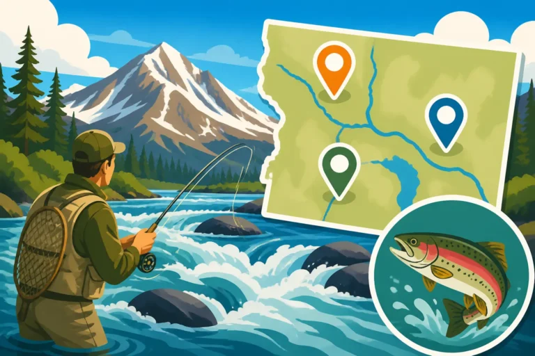
- Understanding Land Status: To confidently fish these areas, you'll need to know where they are. This is where detailed maps, whether paper or digital, are critical. The WGFD website offers interactive maps that clearly show public and private land boundaries. Look for areas where the river runs through solid blocks of yellow (BLM) or green (State Trust Land). Many county plat maps also show land ownership.
- Accessing BLM/State Land: While the land itself is public, getting to it legally is the next hurdle. Often, public roads or established two-track trails cross these lands, allowing access. However, some public parcels can be "landlocked" by private property, meaning you cannot legally cross the private land to reach the public fishing. Always ensure you're using a public right-of-way to reach these areas. Common sense and good signage will usually guide you, but when in doubt, consult your maps or the local WGFD office. For instance, knowing Where to Find Current Wyoming Fishing Regulations can often point you to maps or resources for land access.
- Camping and Extended Stays: Many BLM areas allow dispersed camping, making them ideal for multi-day fishing trips. This means you can often set up camp right near a promising fishing spot, enjoying the solitude of the Wyoming wilderness. Just remember to practice Leave No Trace principles.
Specific Bridges and Day Use Areas
Several bridges and smaller day-use areas also offer valuable, albeit often limited, bank access points along the Green River. These are typically easy to spot and provide quick entry to the water.
- Various Bridge Crossings: Throughout its course, the Green River is crossed by numerous county roads and highways. At many of these bridges, particularly on public land or where easements have been secured, you can often find small pull-offs or designated parking spots. These usually provide access to the riverbanks immediately upstream or downstream of the bridge. These are great for a quick stop or for anglers who prefer to move around frequently, trying different spots. Just be mindful of private land immediately adjacent to the public right-of-way.
- Green River Lakes: While technically much further upstream and a significant drive from the more famous tailwater, the Green River Lakes area within the Bridger-Teton National Forest offers spectacular, high-country bank access. This is where the Green River originates, surrounded by the stunning peaks of the Wind River Range. While requiring a longer commitment and often a dirt road drive, it provides incredible fishing for various trout species in a breathtaking setting. It's definitely a spot for those seeking a true wilderness fishing experience. Exploring High-Elevation Lakes in the Wind River Mountains provides more context for this type of fishing.
- Town of Green River: The actual town of Green River, Wyoming, sits further downstream. While the river flows through it, access within city limits can be more limited to parks or specific public recreation areas. It's more of a warmwater fishery here, with opportunities for smallmouth bass and channel catfish. It's not the prime trout destination that the tailwater section is, but still offers viable urban fishing opportunities for bank anglers.
To simplify the planning for your Green River bank fishing adventure, here's a quick overview of some prime public access points:
| Access Point | Location Relative to Dam | Key Features | Primary Species | Best For |
|---|---|---|---|---|
| Fontenelle Dam Public Access | Immediately Below Dam | Designated parking, restrooms, paved/gravel trails, easy river access | Rainbow, Brown, Cutthroat | Easy access, productive trout fishing, families |
| Big Island Public Access | 2-5 Miles Below Dam | Less developed, informal trails, multiple braids & channels | Rainbow, Brown, Cutthroat | Solitude, exploring, wading |
| BLM Land Stretches | Throughout (map dependent) | Dispersed camping, varied terrain, requires map interpretation | Trout, Bass, Catfish | Multi-day trips, remote feel, experienced anglers |
| Green River Lakes | Far Upstream (source) | High-country, scenic, dirt road access | Brook, Cutthroat, Golden | Wilderness experience, backpacking, scenic beauty |
| Town of Green River Parks | Far Downstream | Urban access, specific park areas | Smallmouth Bass, Catfish | Urban fishing, warmwater species |
Navigating Access Challenges and Maximizing Your Experience
Fishing the Green River from the bank is a deeply rewarding experience, but it does come with its own set of challenges, particularly when it comes to figuring out exactly where you can go. It’s not always a matter of just showing up; a little homework goes a long way.
Respecting Private Property and Angler Ethics
This cannot be stressed enough: always respect private property. The vast majority of access issues in Wyoming, and really anywhere, stem from anglers unintentionally or intentionally trespassing. When you're driving through ranch country along the Green River, assume land is private unless clearly marked as public. Look for signs, fences, and gates. If you're unsure, it's always better to err on the side of caution and find another spot.
A few key points on angler ethics:
- No Trespassing: This is the golden rule. If a fence is marked "No Trespassing" or "Private Property," do not cross it.
- Leave No Trace: Pack out everything you pack in, including fishing line, bait containers, and any trash. Leave the area cleaner than you found it. This helps maintain good relationships with landowners and keeps public access open.
- Stay on Designated Paths: Even on public land, stick to established trails or roads. Wandering off into sensitive habitats or through private property, even if you think you're just cutting a corner, can cause issues.
- Ask Permission: If you see a landowner, a friendly chat and a request for permission can sometimes open up access to private stretches. Be polite, offer to share your catch, and respect their answer if they say no. Many guides listed on platforms like FishingBooker have established relationships with private landowners, which is one reason why a guided trip can sometimes access exclusive waters.
Tools for Finding Green River Access
In this day and age, there's no excuse for not knowing where you are or whose land you're on. Modern technology has made navigating Wyoming's complex land ownership much easier.
- Wyoming Game and Fish Department Maps: The WGFD website is your best friend. They offer interactive public access maps that clearly delineate public and private lands, WGFD access areas, and fishing easements. They often have specific information for popular rivers like the Green. This is usually the first place I check when planning a trip to a new area. Their print version of the Wyoming Fishing Regulations Booklet also often contains general access information.
- Digital Mapping Apps (onX Hunt, BaseMap): These apps are game-changers for identifying land ownership in real-time. For a subscription fee, you can download detailed maps to your phone that show property lines, public land boundaries (BLM, Forest Service, State Trust), and public access points. They use GPS to show your exact location relative to these boundaries, virtually eliminating any guesswork. I consider an app like onX Hunt essential for anyone venturing into less-traveled areas of Wyoming.
- Google Earth/Maps: Before you even leave home, use satellite imagery to scout potential access points. You can often spot two-track roads, informal pull-offs, or areas where the river widens, suggesting good wading opportunities. Cross-reference this with public land maps to confirm legal access.
- Local Bait Shops and Fly Shops: Don't underestimate the power of local knowledge! The folks working at tackle shops in towns like Pinedale, Green River, or even Rock Springs are usually anglers themselves and can provide invaluable, up-to-the-minute advice on current conditions, hot spots, and, critically, where to find good bank access. They can also point you towards specific Fishing Spots Near Rock Springs, Wyoming or other nearby towns.
When a Boat Might Be the Better Option
While this guide focuses on bank access, it's important to be realistic about the Green River. For some of the best fishing, especially in certain sections, a boat or raft simply offers superior access and the ability to cover more water.
- Covering More Water: Much of the Green River flows through relatively remote areas where continuous bank access is difficult. A drift boat, raft, or even a float tube allows you to drift through long stretches, hitting productive runs, riffles, and pools that are inaccessible from shore. This is particularly true for fly anglers who want to present flies to holding lies mid-river.
- Reaching Unpressured Fish: Areas that are difficult to reach on foot often hold less-pressured fish. If you have the means to use a boat, you can often find better fishing and more solitude by floating between public access points.
- Safety and Efficiency: Floating can be safer in sections with deep, fast currents where wading might be dangerous. It's also far more efficient for covering miles of river in a day. Even if you don't own a boat, consider a guided float trip. Many guides, often found through services like FishingBooker, specialize in Green River floats and can provide all the gear and expertise needed. They navigate the public and private sections expertly, maximizing your fishing time.
- Accessing Designated Boat Ramps: The WGFD maintains several public boat ramps along the Green River, especially below Fontenelle Dam, making boat-based fishing relatively straightforward if you have the right equipment. Even if you're not planning a float trip, understanding Fishing From Boats vs Banks: Different Rules can be beneficial.
Ultimately, while challenging, bank fishing on the Green River is absolutely possible and can lead to incredible angling experiences. With a bit of planning and respect for the land, you'll be enjoying the beauty and bounty of this Wyoming treasure.
Disclaimer
The information provided in this guide is for general informational purposes only and does not constitute legal advice. Fishing regulations, land access rules, and conditions can change rapidly. Always consult the most current Wyoming Game and Fish Department regulations and land ownership maps before heading out. Respect private property and adhere to all local, state, and federal laws. Fishing in the wilderness carries inherent risks; always be prepared and prioritize your safety.